

PICTURES FROM TURKEY - These images were copied from the EGE UNIVERSITY Web site.
|
|
Village life in Eastern Turkey |
|
|
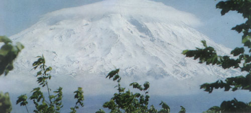
Mount Ararat, Eastern Turkey |
|
|
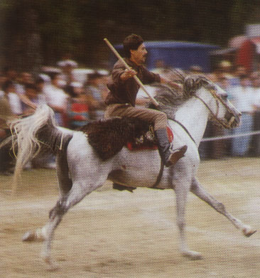
A local sportsman in Erzurum at a festival |
| A view from Tatvan, Eastern Turkey | |
| A holy site in Urfa where the father of all monotheistic religions, Abraham, is said to have been thrown into a lake of fire. By God's grace, the fire was turned into water and woods into fish. | |
| A view from Lake Van, Eastern Turkey | |
| Cat of Van. Indigenous to Van region in Eastern Turkey. Long white fur, different colored eyes are distinct features. | |
|
|
A view from Van. |
| A different way of life, Harran Eastern Turkey | |
|
|
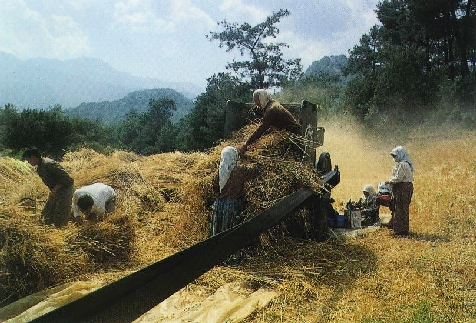
Harvest time. |
| -Sumela (?) | |
| Sculptures at the peak of Mount Nemrut. | |
|
|
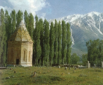
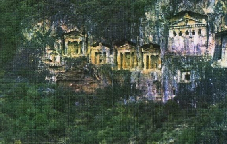
Antient Graves (?) on mountain face |
|
|
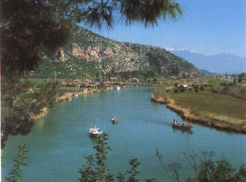
Dalyan |
|
|
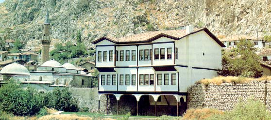
A Turkish house in Amasya, North Central Turkey |
|
|
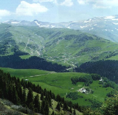
Yayla (plateau) in Giresun, Northern Turkey. |
|
|
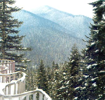
A scenic view of Mount Ilgaz, Northwest Turkey |
|
|
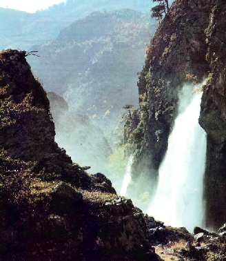
Falls in Nigde. |
| A spectacular natural formation in Pamukkale. | |
|
|
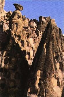
Nature's wonders (Cappadocia) |
|
|
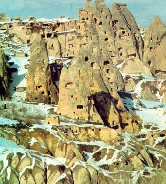
Kapadokya again! |
| Antalya, a city in Southern Turkey. | |
| Side, Southern Turkey. | |
| Side. | |
| Euphesus, Western Turkey. | |
|
|
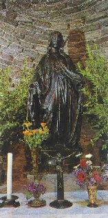
Virgin Mary, Euphesus. |
| Fethiye, Olu Deniz (Dead Sea!) Southwestern Turkey. | |
| Foca, Southwestern Turkey. | |
| ISTANBUL, Bousphorus. | |
| ISTANBUL, Bousphorus at sunset. | |
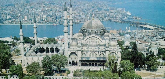
| ISTANBUL | |
|
|
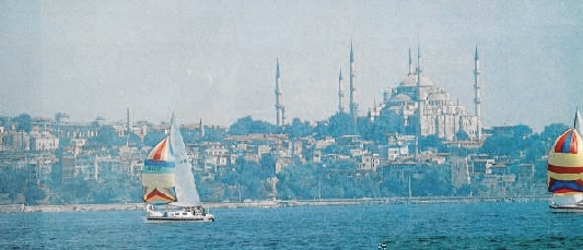
ISTANBUL |
|
|
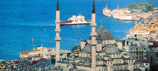
ISTANBUL |
|
|
ISTANBUL |
|
|
ISTANBUL |
| The art of writing. The holy book, Quran | |
| Part of a global map done by the famous Turkish cartographer Piri Reis. This map was made in 1517, and it is the first world map that shows the Americas. (Shown in this image: western Africa, Atlantic, and eastern Americas). |